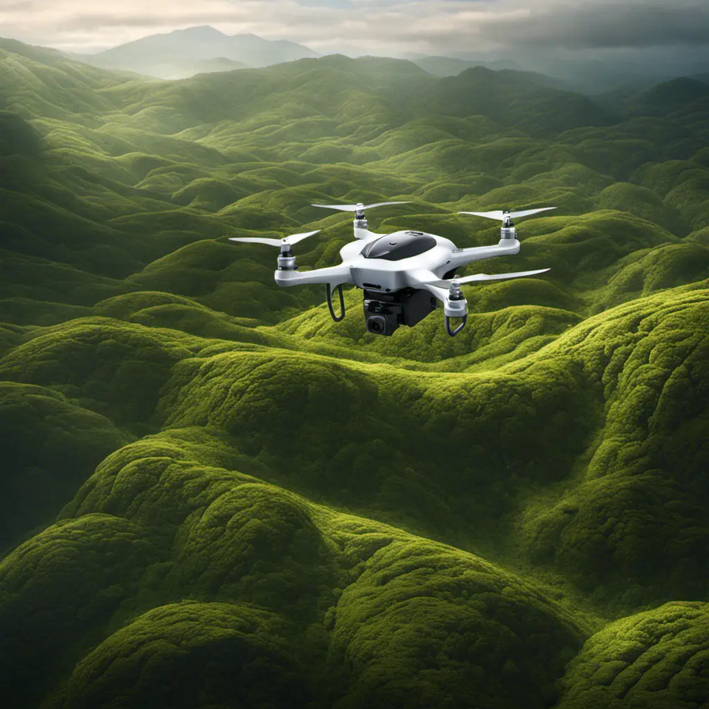
Hey, freedom seeker! Picture this: you’re standing on the edge of a vast field, ready to embark on a journey of discovery.
In your hand, you hold a small but mighty drone, equipped with the power to capture the world from above.
Is drone photogrammetry worth it? Absolutely! This cutting-edge technology offers you the key to unlock a world of possibilities.
With drone photogrammetry, you can swiftly and comprehensively collect data, leaving traditional methods in the dust.
Say goodbye to expensive manned aircraft or satellite imaging, as drones provide a cost-effective alternative.
Plus, the high-resolution imagery they produce ensures detailed and accurate mapping.
So, embrace the freedom to soar with drone photogrammetry, and watch your data analysis reach new heights.
Key Takeaways
- Drone photogrammetry offers a cost-effective and efficient solution for data collection in surveying and construction projects.
- The accuracy and precision of drone mapping are consistently high, especially at lower altitudes.
- Drone photogrammetry has a wide range of applications in various industries, including construction, agriculture, engineering, archaeology, and environmental monitoring.
- Drone photogrammetry provides several advantages over traditional terrestrial surveying methods, including faster data collection, higher resolution imagery, and potential higher accuracy.
Cost-Effectiveness of Drone Photogrammetry
Is drone photogrammetry cost-effective? Absolutely.
When it comes to data collection for surveying and construction projects, drone photogrammetry offers an efficient and economical solution. By utilizing aerial images captured by drones, accurate 3D models can be generated using advanced drone mapping software. This eliminates the need for traditional surveying methods, such as ground control points, resulting in significant time and cost savings.
Additionally, drone photogrammetry allows for the capture of inaccessible areas, reducing the risk and danger associated with terrestrial surveying. The accuracy of drone mapping has been consistently high, especially when flown at lower altitudes, further enhancing its cost-effectiveness.
With the right photogrammetry camera payload and proper software, drone photogrammetry proves to be a valuable tool for those seeking accurate and efficient data collection in a cost-effective manner.
Accuracy and Precision in Drone Photogrammetry
Achieving high accuracy and precision in drone photogrammetry relies on utilizing GNSS-enabled drones and ground sample distance (GSD).
With the help of photogrammetry software, images captured by the drone are processed to create highly accurate 3D models and maps. Tie points in overlapping sections of each image are used to deduce depth and position, resulting in accurate data.
RTK technology further enhances accuracy and precision by receiving corrections from a known grid system. By using known points or ground control points (GCPs) for comparison, drone photogrammetry can achieve high precision, with aircraft data within 1-2 cm of the known point.
This level of accuracy makes drone photogrammetry a reliable alternative to conventional surveying methods, offering significant time and cost savings.
Efficiency and Time-Saving Benefits
You can experience significant efficiency and time-saving benefits with drone photogrammetry. By utilizing aerial images captured by drones, you can efficiently gather precise and accurate data for mapping purposes.
The overlapping images obtained through drone surveying enable the creation of high-resolution 3D models, allowing for detailed analysis and measurement. This method is particularly advantageous for larger projects that cover large areas.
Compared to traditional mapping methods, drone photogrammetry offers a faster and more efficient approach, saving you valuable time. With the ability to access remote or hazardous areas, drones provide the freedom to collect data efficiently in challenging environments.
Additionally, the real-time monitoring and analysis capabilities of drone photogrammetry further enhance efficiency by providing immediate insights and support for decision-making.
Embrace the time-saving benefits of drone photogrammetry and revolutionize your mapping processes.
Versatility and Applications of Drone Photogrammetry
With its wide range of sensors and applications, drone photogrammetry offers industries a versatile tool for precise data collection and analysis.
Drones equipped with photogrammetry software can capture high-resolution aerial images and generate accurate 3D models by stitching together overlapping images.
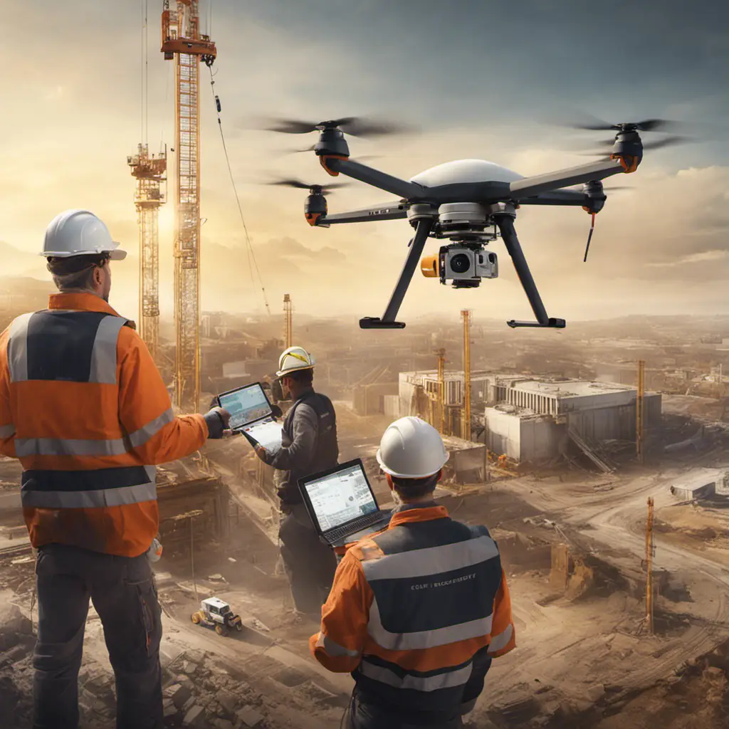
This technology is particularly useful for surveying large areas, making it invaluable in industries such as construction. Traditional survey methods can be time-consuming and labor-intensive, but with a photogrammetry drone, you can quickly and efficiently gather data from above.
In the construction industry, drone photogrammetry can aid in project planning, monitoring progress, and identifying potential issues.
The versatility of drone photogrammetry extends beyond construction, with applications in agriculture, engineering, archaeology, and environmental monitoring.
Comparing Drone Photogrammetry With Traditional Methods
When comparing drone photogrammetry to traditional methods, there are distinct advantages that can be observed.
Drone photogrammetry, through the use of aerial images captured by drones, offers several benefits over traditional terrestrial surveying.
One advantage is the ability to obtain high-resolution imagery, especially in good lighting conditions, resulting in more accurate 3D models.
Drones also excel in covering larger areas efficiently, allowing for quicker data collection and processing.
In terms of accuracy, drone photogrammetry has been proven to be highly accurate, potentially surpassing traditional surveying methods.
These advantages have contributed to the growth of the drone industry, making it an attractive option for those looking to get started with drone-based surveying.
Traditional surveying methods are being increasingly challenged by the efficiency and precision of drone photogrammetry.
Frequently Asked Questions
How Much Can You Make With Drone Photogrammetry?
On average, drone photogrammetry can generate substantial earnings and potential income. Market demand is high, but competition analysis and strategic pricing are crucial. Business expenses must be considered, and targeting industries strategically can aid in client acquisition. Scaling the business leads to long-term profitability.
How Accurate Is a Photogrammetry Drone?
When assessing the accuracy of a photogrammetry drone, factors such as flight altitude, camera resolution, and ground sample distance must be considered. Comparisons with traditional surveying methods and the use of ground control points are vital.
What Are the Benefits of Drone Photogrammetry?
The benefits of drone photogrammetry are numerous. It offers fast data collection, cost-effectiveness, high resolution imagery, accessibility to remote areas, and accurate measurements. These advantages make it valuable for various industries and urban planning.
Is Drone Mapping Profitable?
Drone mapping offers business opportunities and a competitive advantage in a growing market. A cost analysis shows a positive return on investment, and potential clients value the skill development and risk assessment provided. Future prospects are promising.


