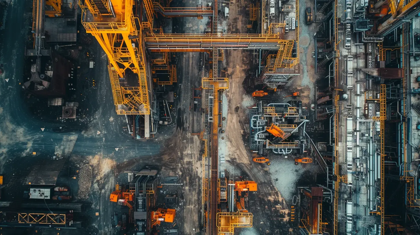
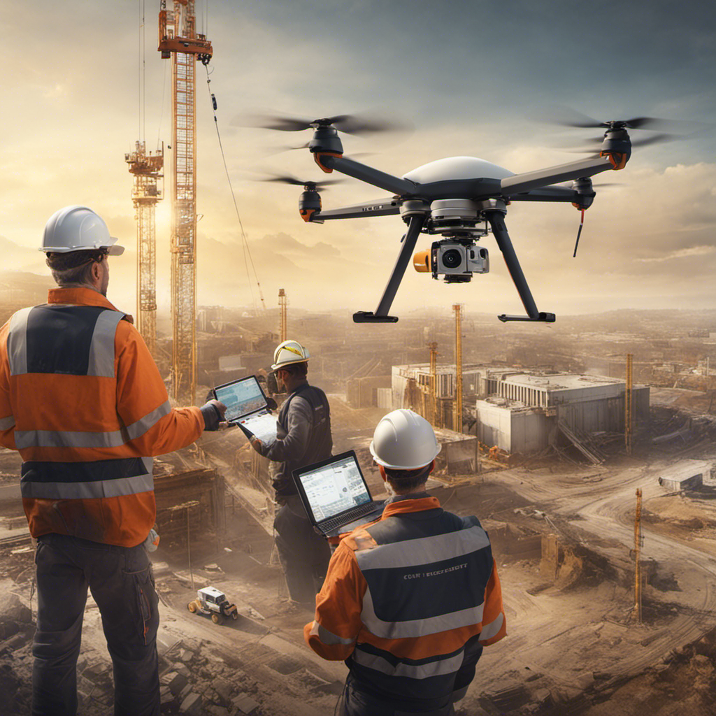
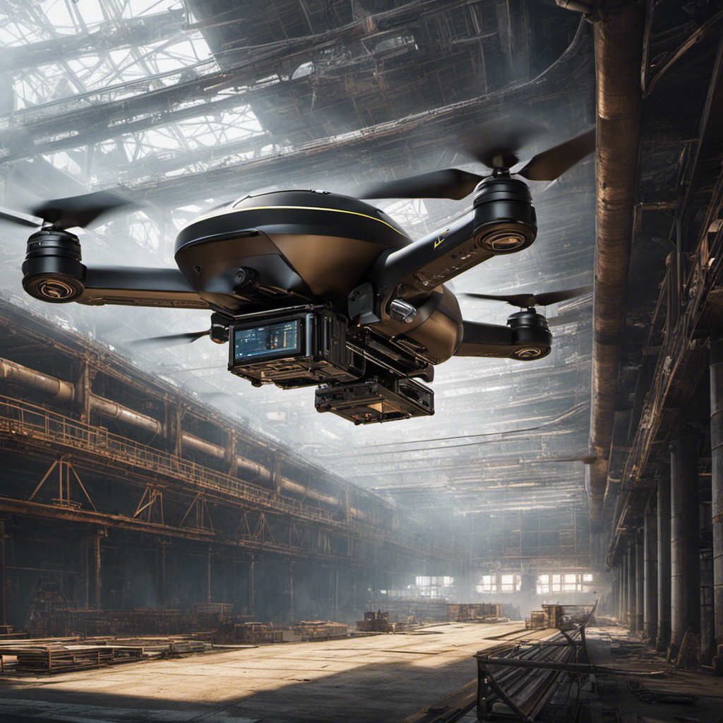
Imagine soaring above towering skyscrapers, capturing breathtaking images of massive industrial sites and intricate infrastructure projects. The world beneath you unfolds like a meticulously crafted tapestry, revealing the intricate details and grandeur of these man-made marvels.
But this isn’t just a figment of your imagination; it’s the incredible reality that drones bring to the field of industrial and infrastructure photography. With their cutting-edge technology and unmatched versatility, drones have revolutionized the way we document and explore these monumental structures.
But that’s not all; there’s so much more to discover about the benefits and applications of using drones in this field. So, let’s dive into the captivating realm of drones for industrial and infrastructure photography and uncover the endless possibilities that await.
Key Takeaways
- Drones are a cost-effective and time-saving solution for capturing high-resolution images and videos in industrial and infrastructure photography
- Drones help enhance safety by reducing the need for manual inspections in these industries
- Drones provide valuable data for planning, monitoring, and decision-making purposes in industrial and infrastructure projects
- Drone help improve efficiency and project management in industries such as telecommunications, infrastructure, construction, and utilities through the use of drones for photography.
Benefits of Industrial and Infrastructure Photography
Drones revolutionize industrial and infrastructure photography, providing a multitude of benefits for various industries.
The construction industry, in particular, benefits greatly from the use of drones for aerial photography. Drones offer a cost-effective and time-saving solution for capturing high-resolution images and videos of construction sites. This allows for improved project management, as drones can quickly and accurately survey large areas, providing valuable data for planning and monitoring purposes.
Furthermore, drones enhance safety in the construction industry by reducing the need for manual inspections. Instead of sending workers into potentially hazardous areas, drones can be deployed to perform aerial inspections and monitoring. This not only improves safety but also contributes to risk reduction on construction sites.
In addition to the construction industry, other industries such as telecommunications and infrastructure also reap the benefits of industrial and infrastructure photography using drones. Aerial imagery from drones provides valuable insights for decision-making and improves efficiency in these industries.
Applications of Drone Photography in Architecture
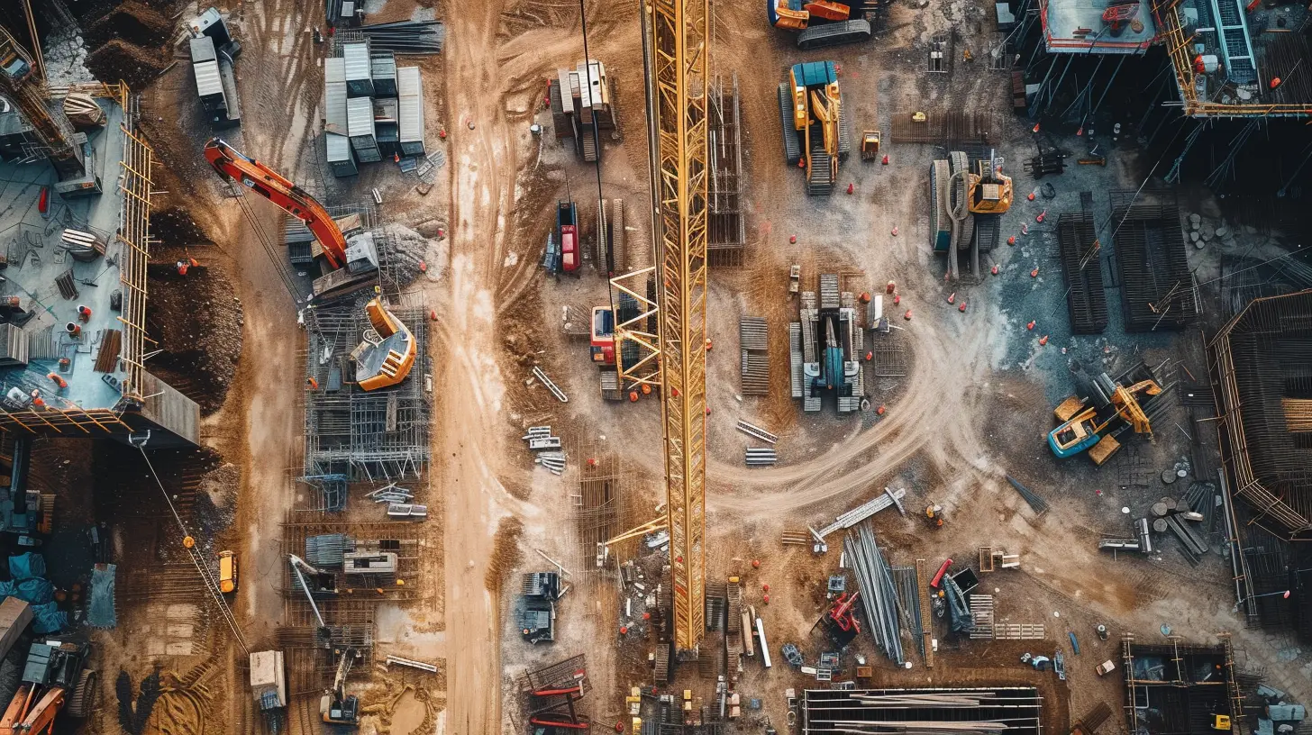
In the realm of industrial and infrastructure photography, the application of drone technology extends beyond construction and into the realm of architecture, offering architects and builders a powerful tool for site analysis, design planning, and real-time monitoring.
Drones, equipped with high-resolution cameras, capture stunning aerial views of architectural structures, providing unique perspectives and showcasing design elements from above.
Here are the key applications of drone photography in architecture:
- Site Analysis:
- Drones aid in surveying and analyzing potential building sites, providing architects and builders with accurate topographic data and helping them visualize how the structure will fit into the surroundings.
- Aerial photography assists in identifying any constraints or opportunities the site may present, such as nearby landmarks or natural features that can influence the design.
- Design Planning:
- Aerial photography enables architects to better understand the spatial relationships between the building and its environment, helping them make informed decisions on factors like orientation, layout, and materials.
- Drones provide architects with the ability to create precise 3D models and visualizations, enhancing communication with clients, contractors, and other stakeholders.
Utilizing Drones in Real Estate Photography
Utilizing drones in real estate photography offers a unique and immersive perspective for potential buyers, allowing them to experience properties from a captivating aerial viewpoint. Aerial imagery has become a valuable tool in the real estate industry, providing stunning views of properties and their surroundings. With drones, high-resolution images and videos can be captured, showcasing the features and landscapes of a property in a way that traditional photography can’t achieve.
In addition to capturing breathtaking visuals, drones also serve practical purposes in the construction industry. They can be used to monitor and document construction sites, providing valuable data for project management. By capturing aerial shots, drones enable construction professionals to assess progress, identify potential issues, and ensure adherence to plans and regulations.
The use of drones in real estate photography and construction industries highlights the versatility and benefits of aerial photography. From showcasing properties to aiding in project monitoring, drones are revolutionizing the way these industries operate. The ability to capture unique viewpoints and provide valuable data makes drones an invaluable tool for professionals in the real estate and construction sectors.
Event Planning With Drone Photography

With the ability to capture captivating aerial perspectives and enhance the visual appeal of events, drone photography has become an essential tool for event planners and marketers.
Here are some reasons why event planning with drone photography is advantageous:
- Expanded Coverage: Drones enable you to capture expansive event spaces, providing a comprehensive view of the entire venue. This allows you to showcase the scale and grandeur of your event, impressing attendees and potential sponsors.
- Dynamic Footage: Drone cameras can capture smooth and dynamic footage, creating engaging event highlight reels. By capturing aerial shots of lively crowd interactions and captivating performances, you can generate excitement and attract future attendees.
- Unique Perspectives: Drones offer the ability to capture unique perspectives that traditional photography methods can’t achieve. Whether it’s capturing a bird’s eye view of a bustling festival or an overhead shot of an intricately designed exhibit, these detailed aerial photos add an element of visual interest and intrigue.
- Real-time Monitoring: By using drones during the event, you can monitor crowd flow, identify potential bottlenecks, and ensure smooth operations. This valuable visual inspection can help you make data-driven decisions to enhance the overall event experience.
Incorporating drone photography into your event planning not only adds a new dimension to your marketing efforts but also provides valuable insights for future improvements. By leveraging drones, you can capture stunning visuals, enhance attendee experience, and showcase your event in a way that sets it apart from the competition.
Enhancing Construction Projects Through Drones
Enhancing construction projects is made more efficient and effective through the utilization of drones. Drones have become an invaluable tool in the field of construction, offering a wide range of benefits.
By using drones for industrial photography, construction companies can capture high-resolution images and videos of their sites, providing valuable data for project monitoring and documentation. These aerial shots offer a unique perspective, showcasing landscapes and structures from above, allowing for a fresh and captivating viewpoint.
One of the key advantages of using drones in construction projects is the ability to provide real-time visual updates. With drones, businesses can track the progress of their projects more effectively, ensuring that everything is on schedule. Additionally, drones can significantly reduce labor times for land surveying, saving both time and money.
Furthermore, drones have the potential to serve as temporary cell towers in areas with limited or no internet or cellular access. This can be particularly valuable in remote construction sites, where reliable communication is crucial.
Drone Photography in Infrastructure Development
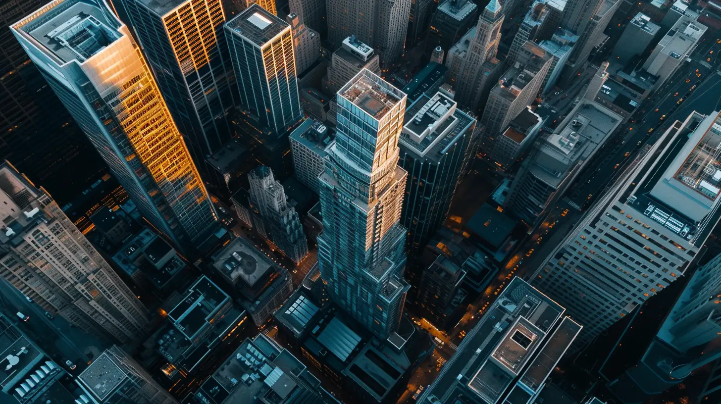
Drone photography plays a crucial role in the development of infrastructure, providing precise and innovative visual data for project monitoring and documentation. With their ability to capture high-resolution images and videos, drones offer a fresh and captivating viewpoint, showcasing landscapes and structures from above.
In the realm of infrastructure development, drone photography offers several advantages:
- Enhanced Surveying: Drones enable professionals to survey construction sites efficiently and accurately. By capturing real-time visual updates, businesses can track project progress and make informed decisions to ensure timely completion.
- Improved Documentation: The high-quality imagery obtained through drone photography serves as valuable documentation for infrastructure projects. It provides a comprehensive record of the construction process, aiding in quality control, dispute resolution, and future reference.
In addition to these benefits, drone photography in infrastructure development also offers opportunities for innovation and optimization. By leveraging the insights gained from aerial shots, stakeholders can identify potential issues, optimize resource allocation, and enhance overall project efficiency.
Drones are transforming the way infrastructure is planned, executed, and monitored, paving the way for safer, more efficient, and visually stunning developments.
Advantages of Drones in Utilities Sector
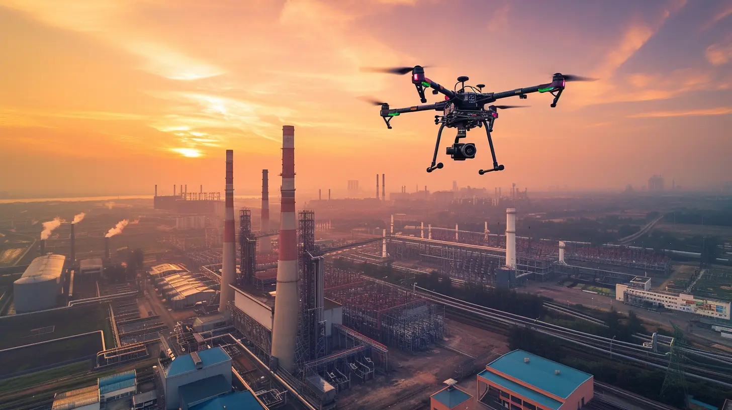
Drones in the utilities sector revolutionize inspection and maintenance processes, providing efficient and cost-effective solutions for assessing infrastructure and improving operational reliability. The use of drones offers several advantages in the utilities sector.
Firstly, drones enable utility companies to conduct inspections in challenging or hazardous environments without risking human safety, ensuring compliance with safety regulations. This is particularly beneficial when assessing power lines and other critical infrastructure.
Additionally, aerial surveys by drones provide detailed and accurate data for utility companies, allowing them to assess the condition of assets and plan maintenance activities effectively. The use of drones in the utilities sector also improves response times to maintenance needs, minimizing disruptions and enhancing overall operational efficiency.
Drones equipped with specialized sensors and cameras can quickly identify potential issues in utility infrastructure, allowing for proactive maintenance and preventing costly failures. By utilizing drones, utility companies can reduce downtime, improve reliability, and ultimately deliver better service to their customers.
The advantages of using drones in the utilities sector are clear, providing a valuable tool for maintaining and improving critical infrastructure.
Film Industry’s Use of Drone Photography
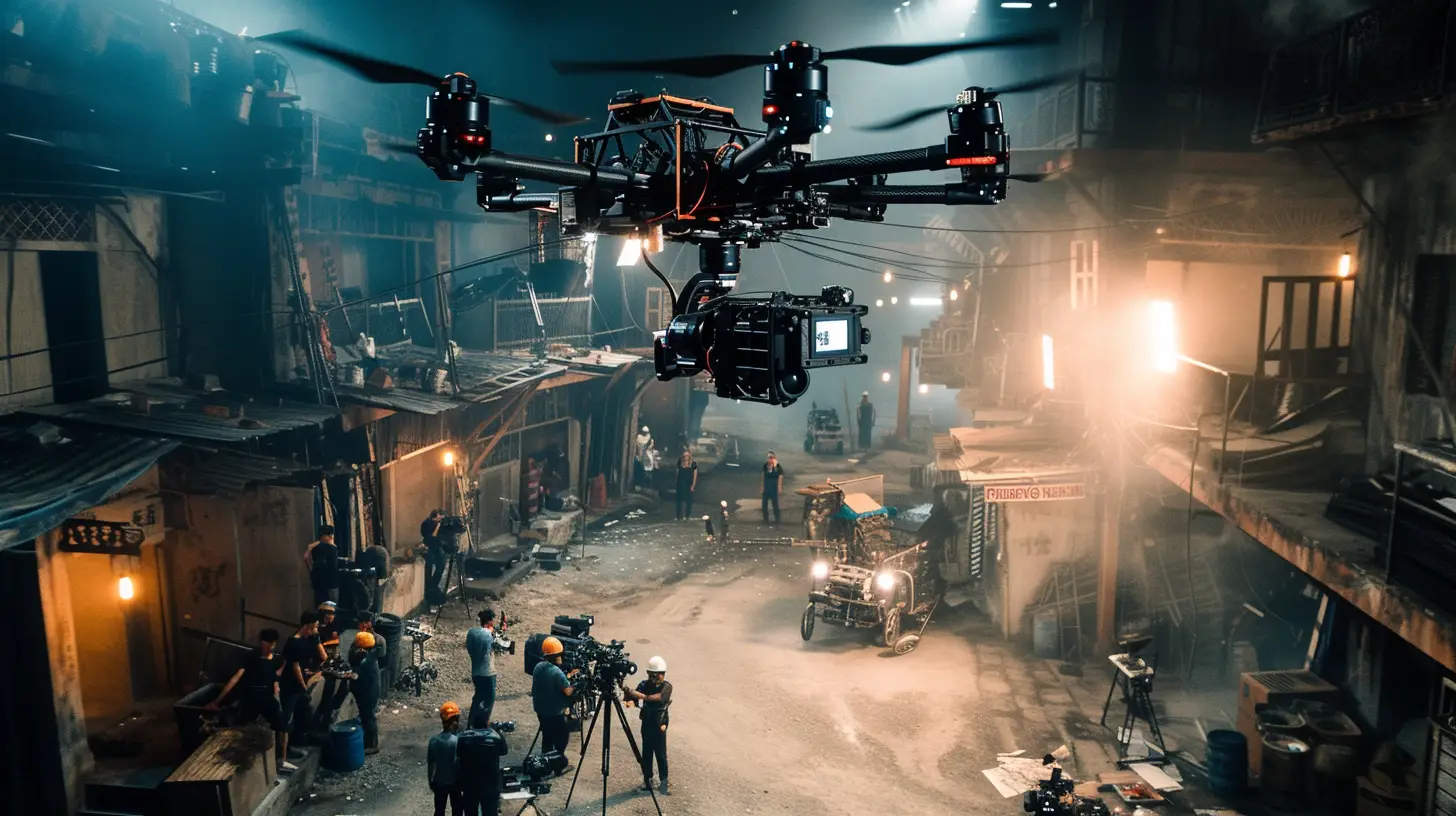
In the realm of utility infrastructure and its maintenance, drones have proven to be a valuable tool.
Now, let’s explore how the film industry has also embraced the use of drone photography to enhance their storytelling and visual appeal.
- The film industry has increasingly turned to drones for captivating aerial footage.
- Drone photography offers a cost-effective alternative to expensive equipment like helicopters or airplanes for film production.
- Aerial shots from drones provide unique perspectives and stunning visuals, adding cinematic value to films, commercials, and documentaries.
- Drones eliminate the need for manual access to dangerous or inaccessible areas for photography, ensuring safety in film production.
- The versatility of drone photography makes it a valuable tool for the film industry, offering diverse angles and capturing breathtaking aerial scenes.
Aerial Photography in Agriculture
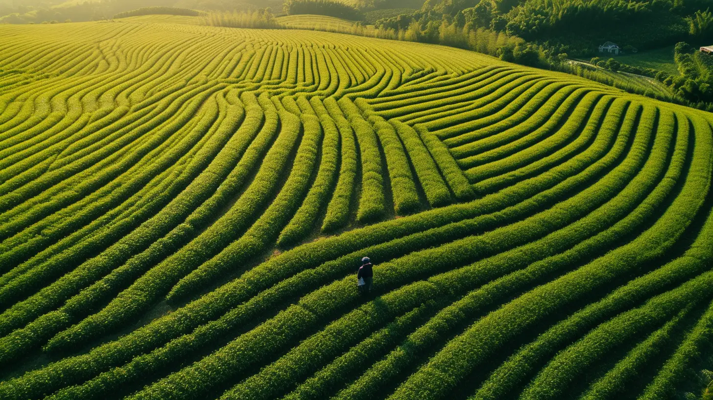
Agricultural aerial photography, with the assistance of advanced drone technology, revolutionizes the way farmers monitor and optimize crop health. Drones equipped with cameras provide real-time aerial imagery for monitoring and assessing crop health in agriculture.
With the ability to capture high-quality photos and videos, drones allow for quick identification of irrigation needs and optimization of yield in agricultural fields. They also help in efficiently delivering water, pesticides, or herbicides to specific areas of agricultural land, enhancing farming operations.
Aerial photography using drones plays a vital role in meeting the high demand for food production and feeding the growing global population. By equipping drones with high-quality cameras, crucial crop health reports can be provided, and agricultural areas can be monitored for potential harm or fire. This technology not only benefits farmers but also contributes to the overall efficiency and sustainability of the agriculture industry.
Construction companies can also benefit from agricultural aerial photography as it allows them to have a bird’s eye view of their projects, enabling better planning and management.
With the advancements in drone technology, aerial photography in agriculture continues to evolve and improve, providing valuable insights and solutions for farmers and industries alike.
Mapping With Drones for Better Accuracy
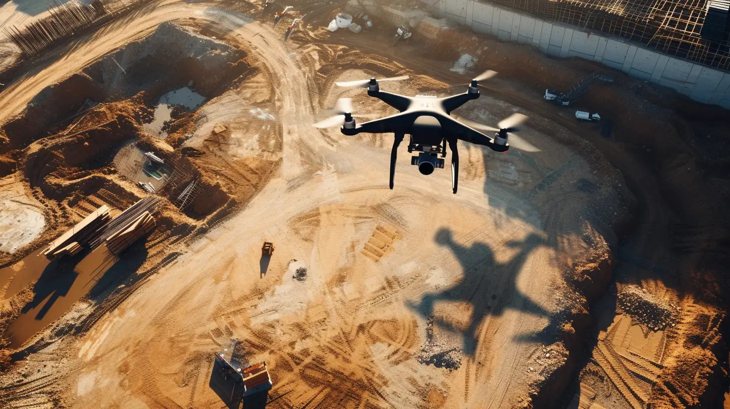
Utilizing advanced drone technology, mapping with drones revolutionizes the accuracy of data collection and enables the creation of highly detailed and reliable maps. Drones equipped with mapping software provide high-resolution imagery, allowing for better visualization and analysis of geographical features. With the ability to generate 2D and 3D maps, drones enhance accuracy in land surveying and infrastructure planning.
Mapping with drones offers a cost-effective and time-efficient solution for creating up-to-date maps and monitoring changes in landscapes and infrastructure. Here are the key benefits of mapping with drones:
- Improved Precision: Drones capture data from multiple angles and altitudes, resulting in more accurate measurements and detailed maps. This level of precision is crucial in industries such as construction and urban planning, where accurate data is essential for decision-making.
- Enhanced Efficiency: Compared to traditional mapping methods, drones significantly reduce the time required to collect and process data. They can cover large areas quickly, allowing for faster project completion and quicker response to changing conditions.
Incorporating drones into mapping processes not only improves accuracy but also streamlines operations in industrial and infrastructure photography. By harnessing the power of this technology, professionals can obtain precise and reliable maps, leading to better decision-making and more efficient project management.
Environmental Monitoring Through Drone Photography
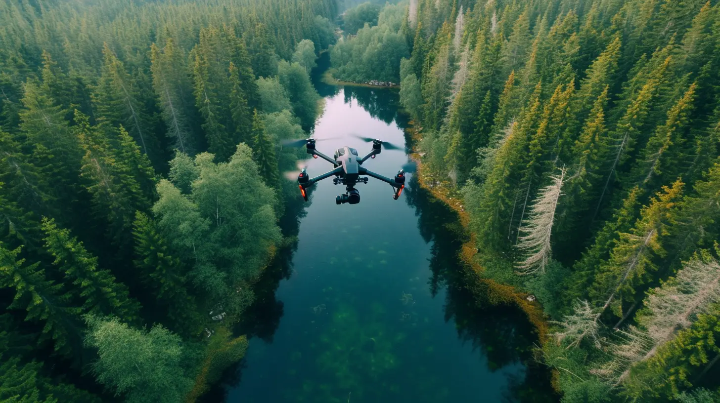
By harnessing the power of drone photography, professionals can effectively monitor and analyze environmental changes and impacts, supporting research and decision-making in environmental conservation. Using drones for environmental monitoring offers a cost-effective and efficient method for gathering data on ecosystems, habitats, and natural resources. Drones equipped with high-resolution cameras provide a unique aerial perspective for monitoring landscapes and structures, aiding in environmental monitoring efforts. Aerial imagery captured by drones facilitates the identification of potential environmental issues in various industries, contributing to proactive environmental management.
In agriculture, environmental monitoring through drone photography enables the assessment of crop health, identification of irrigation needs, and optimization of yield. By capturing detailed images of crops and vegetation, drones assist in identifying areas of stress, disease, or nutrient deficiencies, allowing farmers to take timely actions to maximize productivity and minimize environmental impacts.
In addition to agriculture, drone photography plays a crucial role in monitoring and managing environmental impacts in industrial and infrastructure projects. By capturing aerial images of construction sites, drones enable professionals to assess the effects of these projects on surrounding ecosystems, water bodies, and wildlife habitats. This information can then be used to design and implement mitigation measures, ensuring the least possible harm to the environment.
Furthermore, drones are instrumental in monitoring and documenting changes in natural landscapes and ecosystems. By regularly capturing high-resolution images of forests, wetlands, and other sensitive areas, professionals can track deforestation, wildlife migration patterns, and changes in vegetation cover. This data can inform conservation efforts and support the development of sustainable land management practices.
Search and Rescue Operations With Drones
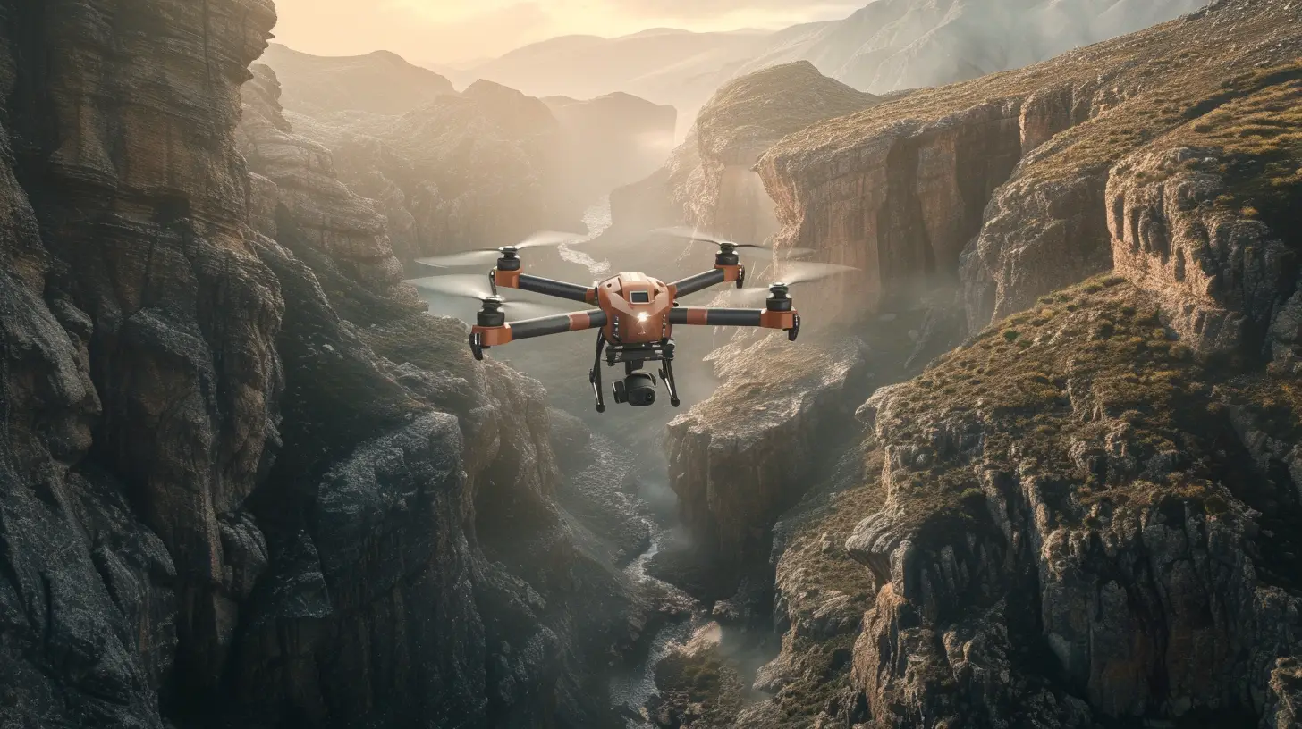
Drones play a crucial role in search and rescue operations, providing invaluable aerial views to locate missing persons or assess disaster-affected areas. Their use in these operations offers several benefits:
- Efficient Coverage: Drones help search teams cover large areas quickly and efficiently, aiding in time-sensitive rescue missions. They can reach areas that are challenging for humans to access, such as rugged terrains or dense forests.
- Thermal Imaging Capability: Equipped with thermal imaging cameras, drones can detect body heat, making them effective in locating individuals in remote or challenging terrains. This technology enables search teams to identify and rescue people even in low-light or adverse weather conditions.
- Real-Time Information: Drones provide valuable real-time information to rescue personnel, enhancing their safety by avoiding unnecessary risks. They can transmit live footage and images, allowing rescue teams to make informed decisions and coordinate their efforts effectively.
- Access to Hazardous Locations: Drones can access hard-to-reach or hazardous locations, such as collapsed buildings or unstable terrains, without risking additional lives. This capability increases the chances of successful outcomes in rescue operations.
The use of drones in search and rescue operations revolutionizes the way these missions are conducted. With their ability to provide aerial views, thermal imaging capabilities, and access to challenging locations, drones significantly enhance the efficiency and effectiveness of search and rescue efforts.
Drones in the Oil and Gas Industry
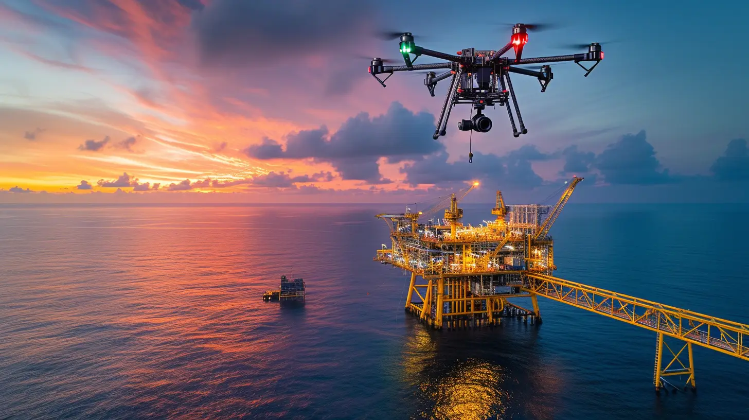
In the oil and gas industry, aerial photography conducted by drones offers a cost-effective and efficient method for monitoring pipelines and remote facilities. Drones equipped with specialized sensors play a crucial role in assessing infrastructure and equipment, aiding in the detection of leaks, corrosion, and other potential hazards. By providing valuable visual data, drones optimize maintenance and operations, enhancing safety and minimizing the need for manual inspections.
Utilizing drones in the oil and gas industry not only reduces worker exposure to hazardous environments but also improves decision-making by providing accurate and real-time information. These unmanned aerial vehicles are revolutionizing the industry by offering innovative photography solutions that enhance efficiency and productivity. With their ability to navigate challenging terrains and capture high-quality images, drones are transforming the way oil and gas companies monitor their assets.
Digital Marketing With Aerial Photography
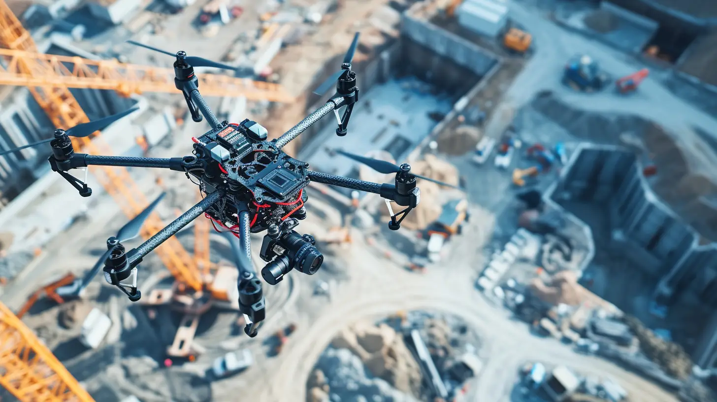
Utilizing the captivating and unique perspectives offered by aerial photography with drones, businesses can enhance their digital marketing efforts and create visually compelling brand stories.
Here are some key benefits of digital marketing with aerial photography:
- Increased brand visibility: Aerial photography allows businesses to showcase their products, services, and locations from a bird’s eye view, capturing attention and standing out from competitors.
- Enhanced storytelling: The use of aerial imagery adds depth and dimension to brand stories, creating a more immersive experience for customers and conveying a sense of scale and grandeur. For example, a real estate company can use aerial photography to highlight the surrounding landscape, proximity to amenities, and architectural features of a property, enticing potential buyers.
- Similarly, a construction company can showcase the progress of a project or the scale of their operations, instilling confidence and attracting new clients.
Commercial Drones for Business Success
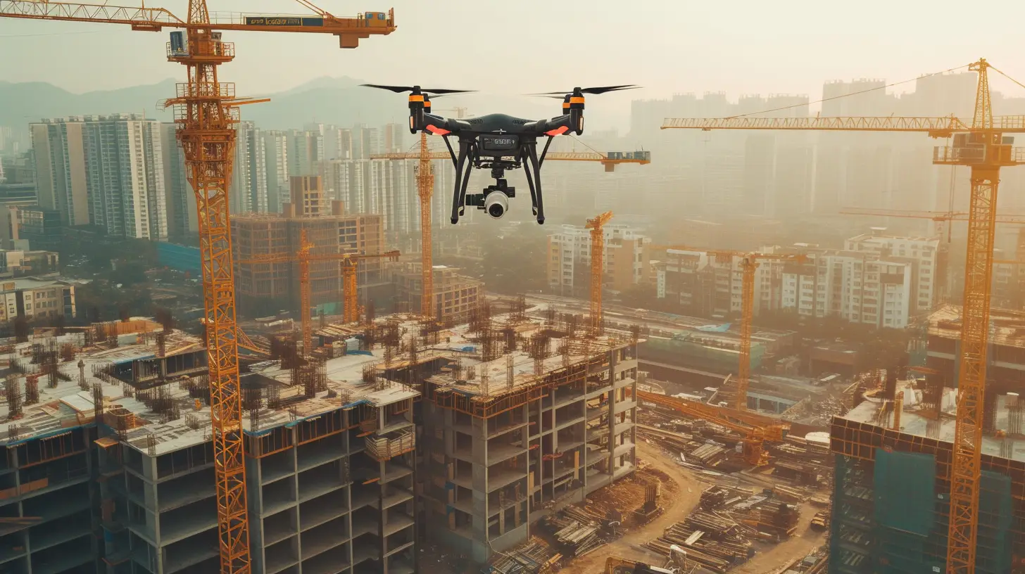
With the increasing demand for efficient and innovative business solutions, the integration of commercial drones has become essential for achieving success in various industries. Commercial drones offer unique opportunities for businesses to enhance their operations and stand out from the competition. By using drones for industrial and infrastructure photography, companies can benefit from cost savings, improved efficiency, and enhanced safety. Here is a table highlighting the key advantages of commercial drones for business success:
| Advantages of Commercial Drones | |
|---|---|
| Cost Savings | Drones eliminate the need for expensive manned aircraft or equipment, reducing operational costs. |
| Improved Efficiency | Drones can quickly survey large areas and capture data, allowing for faster decision-making and project completion. |
| Enhanced Safety | By using drones, businesses can avoid sending personnel into dangerous or hazardous environments, reducing the risk of accidents and injuries. |
| Competitive Advantage | Incorporating commercial drones into business operations provides a unique selling point and attracts customers who value innovation and technology. |
Incorporating commercial drones into business strategies is a smart move for companies looking to stay ahead in today’s competitive market. By leveraging the benefits of using drones for industrial and infrastructure photography, businesses can achieve cost savings, improve efficiency, enhance safety, and gain a competitive edge. Embracing commercial drones is a game-changer for business success.
Leveraging Drone Technology for Competitive Edge
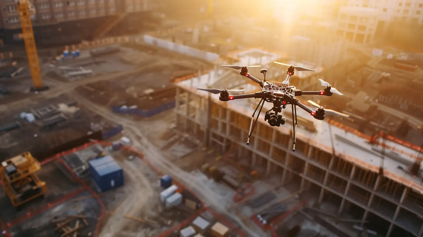
To gain a competitive edge in today’s market, businesses can leverage the power of drone technology for enhanced efficiency, cost savings, and unique visual storytelling.
By using drones for industrial and infrastructure photography, you can tap into a range of benefits that will set your business apart from the competition:
- Increased Efficiency:
- Drones provide a faster and more efficient way to capture high-quality aerial images and videos, eliminating the need for manual surveys and inspections.
- With drones, you can cover large areas in a fraction of the time, allowing you to complete projects faster and meet tight deadlines.
- Cost Savings:
- Traditional methods of capturing aerial photographs and videos involve hiring helicopters or planes, which can be expensive. Drones offer a cost-effective alternative that requires minimal resources.
- By reducing the need for manual labor and expensive equipment, drones can significantly lower operational costs, allowing you to allocate resources more efficiently.
The Concrete Advantages of Drone Photography in Construction
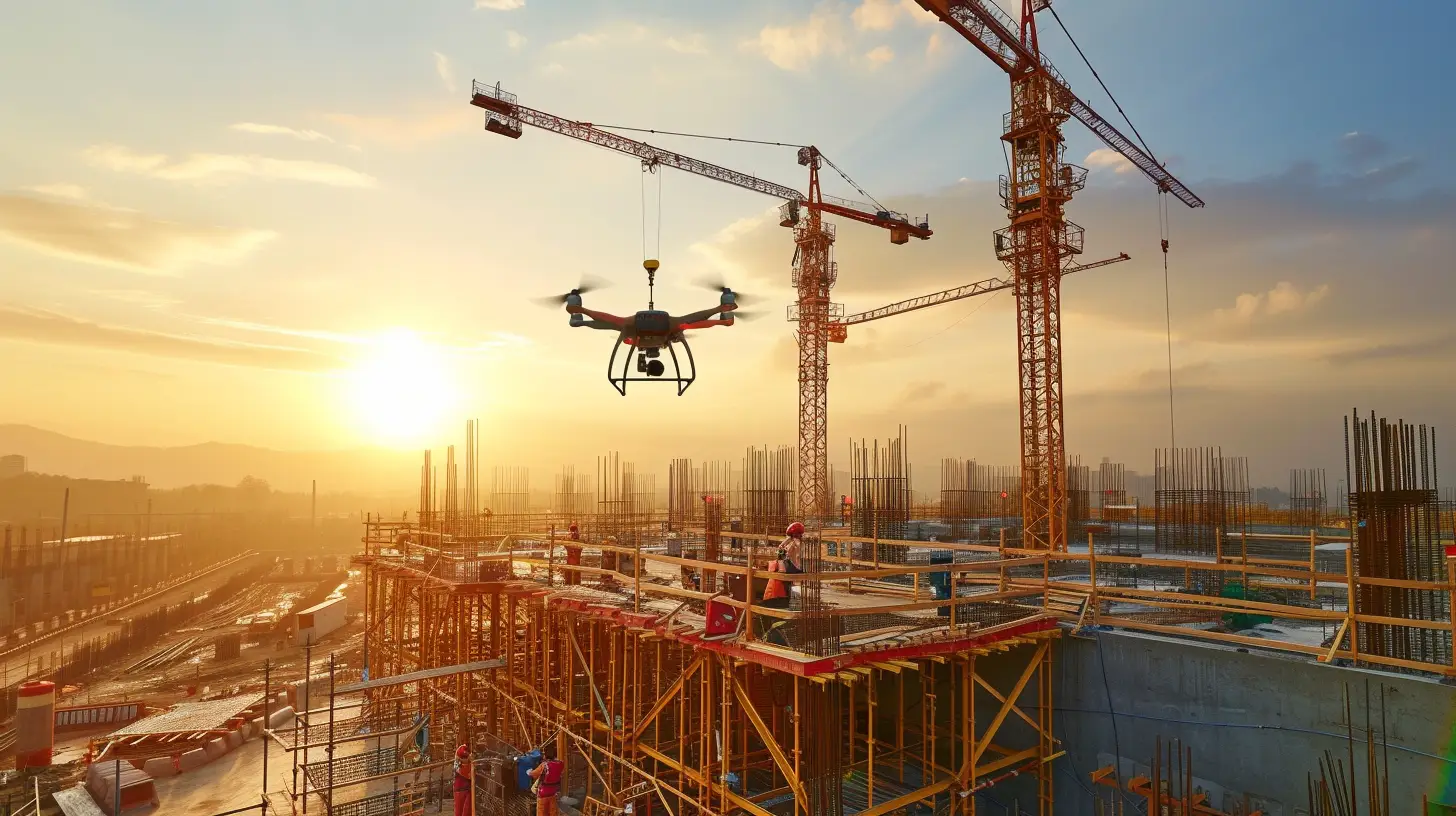
Drones in construction photography offer a multitude of concrete advantages, revolutionizing the industry with their high-resolution imagery and real-time visual updates. By leveraging drone technology, construction companies are able to enhance efficiency, reduce costs, and improve project monitoring and documentation. Here are the key advantages of drone photography in construction:
| Advantages | Description |
|---|---|
| Enhanced Project Monitoring | Drones capture high-resolution images and videos of construction sites, providing real-time visual updates on project progress. This allows businesses to track construction timelines more effectively and make faster decisions. |
| Cost Reduction | Aerial photography eliminates the need for expensive equipment like helicopters or airplanes, making it a cost-effective option for capturing construction progress. Drones provide an affordable alternative, reducing operational costs for construction companies. |
| Efficient Completion of Complex Projects | Drones aid in the completion of complex projects and structures by providing accurate and detailed aerial surveys. This helps in infrastructure and construction planning, ultimately saving time and resources. |
| Unique Perspectives | Aerial shots offer a fresh and captivating viewpoint, showcasing landscapes and structures from above. This creates unique perspectives that traditional photography methods cannot achieve, adding value to construction projects. |
| Improved Safety | Drones enable experts to survey dangerous areas without risking human lives. They can capture data on climate changes, document potentially deadly locations, and aid in maintaining stable communities and environments. |
Incorporating drone photography in construction provides a range of benefits. From efficient project monitoring to cost reduction and improved safety, drones are transforming the construction industry by providing high-quality and innovative photography solutions.
How Drones Add Value to Construction Projects
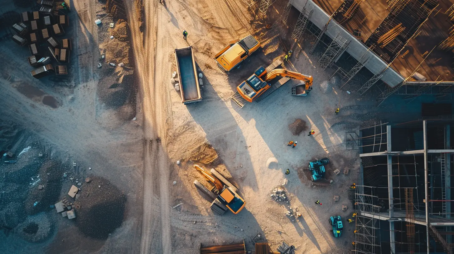
By leveraging the capabilities of drone photography, the construction industry is able to extract maximum value from projects through enhanced monitoring, cost reduction, and improved safety measures. Drones offer a range of benefits that contribute to the success of construction projects:
- Enhanced Monitoring:
- Drones capture high-resolution images and videos of construction sites, providing real-time visual updates on project progress.
- Aerial shots offer a fresh and captivating viewpoint, allowing businesses to track and analyze the development of landscapes and structures from above.
- Cost Reduction:
- Construction drones gather precise, photorealistic details across an entire site within hours, significantly reducing the time and cost required for manual surveys.
- By collecting data efficiently, drones enable construction companies to make informed decisions and optimize resource allocation, leading to cost savings.
- Improved Safety Measures:
- Drones provide a safe alternative for gathering information in hazardous environments, reducing the need for workers to enter potentially dangerous areas.
- Real-time monitoring with drones helps identify potential safety risks and allows for prompt action, ensuring a safer working environment for construction teams.
Frequently Asked Questions
How Are Drones Used in Infrastructure?
Drones are used in infrastructure for surveys, aiding in cost reduction, time-saving, and adopting new technologies. They also play a vital role in agriculture by delivering crop health reports, meeting the high demand for food production.
How Are Drones Used for Industrial Use?
Drones offer a safe and efficient way for experts to survey dangerous locations, capture data, and document potentially deadly areas. They aid in maintaining stable communities, preserving nature, and revolutionizing industries with high-quality photography solutions.
What Are Some Industries Fields That May Find Drone Photography Useful?
Some industries that may find drone photography useful include agriculture, construction, real estate, insurance, and telecommunications. Drones assist in crop assessment, project monitoring, property showcasing, data gathering, and expanding connectivity, revolutionizing these fields with innovative photography solutions.
What Kind of Companies Use Drones for Photography?
Companies in various sectors, such as real estate, construction, agriculture, telecommunications, and insurance, utilize drones for photography. They benefit from aerial views, improved efficiency, risk assessment, and digital transformation, revolutionizing their industries.

