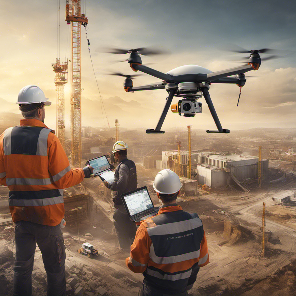
Are you ready to soar to new heights and revolutionize your surveying and mapping practices? Look no further than the precision and efficiency offered by surveying and mapping from above!
With drones as your trusty companions, you can experience real-time data capture, covering vast areas in a flash and achieving unparalleled accuracy. Say goodbye to costly and time-consuming traditional methods.
Embrace the freedom of drone surveying and mapping services, saving resources and minimizing human errors. Whether you’re in real estate, construction, or land development, the cost-effectiveness and cutting-edge technology of drones will empower you to make informed decisions and elevate your project outcomes.
Get ready to take your surveying and mapping game to new heights with the remarkable precision and efficiency of drone services.
Key Takeaways
- Drone technology has revolutionized surveying and mapping, making it more accurate and efficient.
- Satellite imagery improves mapping precision and efficiency by providing accurate measurements and a comprehensive view of the terrain.
- The integration of artificial intelligence enhances precision, efficiency, and real-time analysis in surveying and mapping.
- LiDAR technology enhances precision in surveying and mapping by accurately measuring distances and creating detailed elevation data.
Advancements in Aerial Surveying Techniques
In this article, we’ll explore the advancements in aerial surveying techniques, allowing you to understand the latest developments in this field.
Traditional land surveying methods have been time-consuming and often limited in their ability to cover large areas quickly. However, with the advent of drone technology, surveying and mapping have become more accurate and efficient.
Drones equipped with high-resolution cameras and mapping software can provide accurate measurements and spatial data, enabling developers to identify potential issues and make informed decisions. Using drones for mapping eliminates the guesswork and provides precise geospatial data.
Specialized software processes the drone data to create detailed maps and 3D models, which can be integrated into geographic information systems.
These advancements in aerial surveying techniques have revolutionized the industry, offering advanced technology for accurate and efficient mapping and surveying services.
Benefits of Satellite Imagery in Mapping
With satellite imagery, you can harness the benefits of enhanced mapping precision and efficiency.
Satellite imagery provides accurate measurements and data about land’s physical features, improving the accuracy of mapping.
By utilizing aerial data captured by satellites, you can obtain a comprehensive view of the terrain and gain valuable insights for advanced mapping.
The use of specialized equipment, such as LiDAR and thermal sensors, further enhances the mapping capabilities by providing detailed information from above.
Satellite imagery also allows for the surveying of large areas in a short period, increasing efficiency and reducing costs compared to traditional methods.
With the ability to access satellite imagery and geospatial data services, you can revolutionize mapping precision, saving time and resources while ensuring accurate results.
Integration of Artificial Intelligence in Surveying
Harnessing the power of artificial intelligence revolutionizes surveying by enhancing precision and efficiency. The integration of artificial intelligence in surveying and mapping processes brings numerous benefits to surveyors.
AI algorithms enable accurate measurements and reliable data processing, reducing human errors. By employing AI in drone technology, surveyors can collect data more efficiently and analyze it in real-time. This automation allows for faster decision-making and improves overall surveying efficiency.
AI-powered drones can autonomously navigate obstacles and capture detailed data, enabling surveyors to create detailed maps, 3D models, and spatial data. The integration of artificial intelligence in surveying not only streamlines the process but also ensures higher quality and more accurate results.
Surveyors can rely on AI to optimize their workflow and obtain precise data for various applications.
Increasing Efficiency With Drone Technology
To maximize efficiency, you can leverage drone technology for faster data collection and analysis in surveying and mapping processes.
Drone technology provides the capability to capture data from above, allowing for accurate and reliable measurements in surveying and mapping services. With the use of high-resolution cameras, GPS systems, and lidar sensors, drones can provide precise measurements and detailed maps.
The data captured by mapping drones can be analyzed using specialized software to create accurate and reliable results. This technology ensures accurate and reliable data, saving time and resources by covering large areas quickly.
Drones have a wide range of applications in surveying and mapping, offering aerial mapping, 3D mapping, photogrammetry, and volume measurements.
Enhancing Precision With Lidar Technology
You can enhance precision in surveying and mapping processes by incorporating lidar technology into your drone operations. Lidar technology utilizes laser sensors to accurately measure distances and create detailed elevation data.
By equipping your drone with lidar sensors, you can capture high-resolution and accurate spatial measurements, resulting in precise mapping and 3D modeling. The use of lidar technology ensures that you obtain accurate measurements even in challenging environmental factors such as dense vegetation or uneven terrain.
With lidar-equipped drones, you can collect and analyze data more efficiently, allowing for informed decision-making in land surveying and mapping.
The detailed images and accurate spatial data obtained through aerial surveying with lidar technology enable the creation of detailed topographic maps, contributing to enhanced precision and efficiency in your surveying and mapping projects.
Frequently Asked Questions
What Is the Difference Between Mapping and Surveying?
Mapping is the visual representation of survey data, while surveying involves measuring positions, distances, and topography. Accurate mapping supports construction and decision-making. Modern surveying uses technologies like GPS. Both play a role in urban planning and disaster management.
What Is Precision in Surveying?
Precision in surveying is crucial for accurate land measurements. Drones with high-resolution cameras and GPS systems offer unmatched accuracy and efficiency. They eliminate human errors and can swiftly cover large areas, revolutionizing the industry.
What Is the Role of Surveying and Mapping?
The role of surveying and mapping is crucial in urban planning, disaster management, environmental conservation, and infrastructure development. Geospatial data provides precise information, while advancements in technology, such as drones, enhance efficiency and accuracy.
What Is the Most Accurate Way to Survey Land?
The most accurate way to survey land is through the use of aerial technology, such as drone mapping and laser scanning. These techniques provide precise measurements and data accuracy assessment for optimal results.


